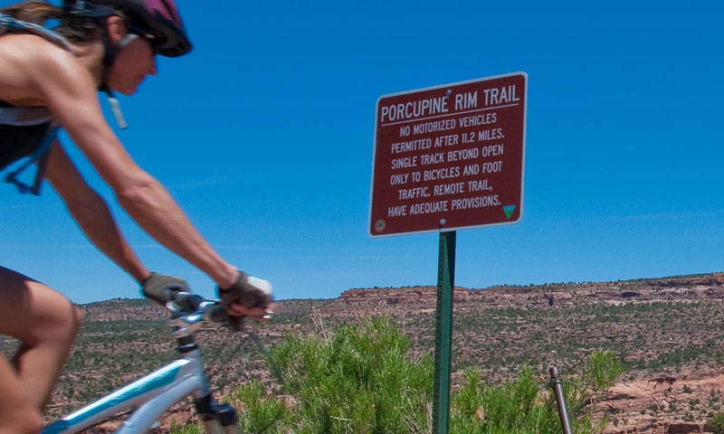
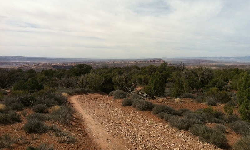
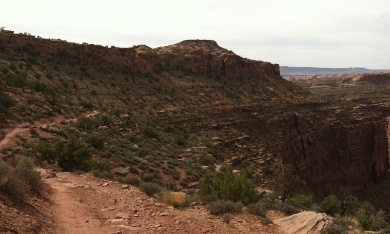
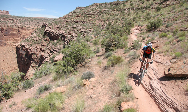
Besides being a little overcrowded, it is also one of the area's most beautiful and technical mountain biking and 4x4 trails. Ledges, jagged and loose rock, and exposure raise many heart rates. But many bikers are thankful for the relatively mellow uphill climb at the beginning of the ride.
Trail Specifics
- Distance: 14.8 one way
- Riding Time: 2 to 5 hours
- Difficulty: Technically and Physically Difficult
- Trail Surface: Ledges, 4WD track, singletrack, loose rock
- Details: From the trailhead the ride leads you along a 4WD track along a steep canyon wall. At mile 3, you reach the rim for what the trail was named, begin your descent, and also find many spectacular viewpoints. The view over the cliffs edge into Castle Valley is the most remarkable. The Porcupine Rim Trail rides along the rim for a while, offering great views the whole way. The trail drops off the rim, making its way along singletrack down to the Colorado River to your right (no 4x4s once it drops off the rim). The exposure along this singletrack is noteworthy. Don't take any corners too quickly or you may find yourself in a nice tumble toward the Colorado River. The trail ends at UT 128 along the Colorado River.
Directions to Trailhead
From US 191, drive East on Center Street. Turn right on 400 East and then left onto Sand Flats Road. Drive to mile marker 7 and park. The trail is off to the left. The shuttle drop off is north of Moab. Drive north on US 191 until UT 128. Drive 3 miles, just passed Negro Bill Canyon, and park in the parking area.
Maps & Tours
- Pick up a detailed map or guide book at the Moab Information Center on the corner of Main and Center Streets.
- If you are new to mountain biking, or to the area, consider Joining a Guided Bike Tour.


